Umang Sisodia • • 3 min read • 8 views
India Challenges UN Map Errors Over Arunachal and Aksai Chin Borders
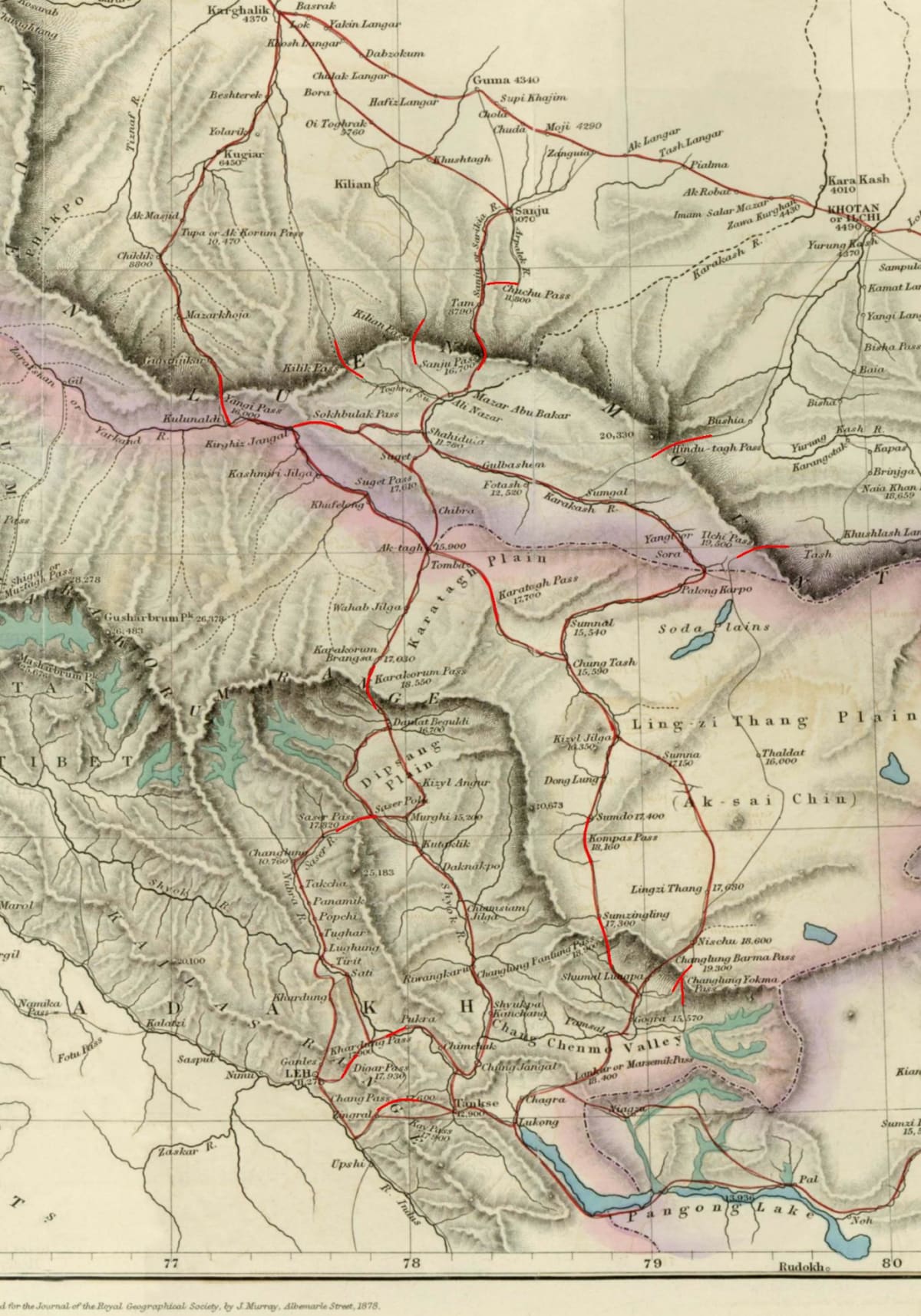
Background
The United Nations recently released an updated political map that, for the first time in years, depicts the Himalayan frontier with new colour‑coding. While most of the world’s borders remained unchanged, the map showed India’s northeastern state of Arunachal Pradesh as part of China and placed the high‑altitude plateau of Aksai Chin under Indian administration. Both territories have been flashpoints in New Delhi‑Beijing relations since the 1962 war, and any cartographic shift is immediately politicised.
India’s Objection
The Ministry of External Affairs (MEA) issued a formal note‑verbale to the UN Secretariat, calling the depiction a “serious anomaly” that contradicts India’s long‑standing claim over Arunachal Pradesh and its acknowledgement of Aksai Chin as part of China. The note highlighted three specific concerns:
- Territorial integrity – The map erases the de‑facto control exercised by India over Arunachal Pradesh, undermining the constitutional status of the state.
- Legal consistency – The United Nations’ own publications, including the UN Geospatial Information Section, have historically shown the Line of Actual Control (LAC) in a way that respects India’s claim. The new version deviates without any diplomatic consultation.
- Precedent for future disputes – If unchecked, such cartographic errors could be cited by other claimants in unrelated border disagreements, weakening the UN’s credibility as a neutral mapping authority.
India’s diplomatic team requested an immediate correction and urged the UN to consult both parties before publishing any future revisions. The MEA also reminded the UN that the map’s purpose is to serve as a reference for peace‑keeping and humanitarian missions, not a platform for political reinterpretation.
Diplomatic Ramifications
The incident arrives at a sensitive juncture. Bilateral talks between New Delhi and Beijing have been stalled over trade restrictions, the status of the Line of Actual Control, and the broader Indo‑Pacific strategic competition. A map controversy, however minor it may seem, can inflame nationalist sentiment on both sides. In New Delhi, opposition parties have seized on the issue to demand a tougher stance, while in Beijing state media framed the UN’s depiction as “an inadvertent error that will be rectified.”
International observers note that the United Nations, unlike the International Court of Justice, does not have a binding adjudicative mechanism for map disputes. Nonetheless, the UN’s cartographic output carries symbolic weight. A swift correction could defuse tension; a delayed response may be leveraged by China to argue that the international community recognises its border narrative.
What Lies Ahead
The UN’s cartographic department has pledged an internal review and is expected to issue a revised map within the next few weeks. Meanwhile, India is likely to raise the issue in upcoming multilateral forums such as the Shanghai Cooperation Organisation (SCO) and the United Nations General Assembly. Both nations will continue to use diplomatic channels to reaffirm their respective claims, while the world watches for any shift that could alter the delicate status‑quo along the Himalayan frontier.
Takeaway: A seemingly technical map error has resurfaced a decades‑old territorial dispute, reminding policymakers that geography is as much a political instrument as a scientific one. The resolution—or lack thereof—will signal how the UN balances technical accuracy with the geopolitical sensitivities of its member states.
Original Reporting & Source: India Today Top Stories

Discussion (0)
Sign in to join the discussion.
No comments yet. Be the first to start the conversation!