Umang Sisodia • • 3 min read • 7 views
Western Disturbance Set to Amplify Monsoon, Bring Heavy Rains to North India
Overview
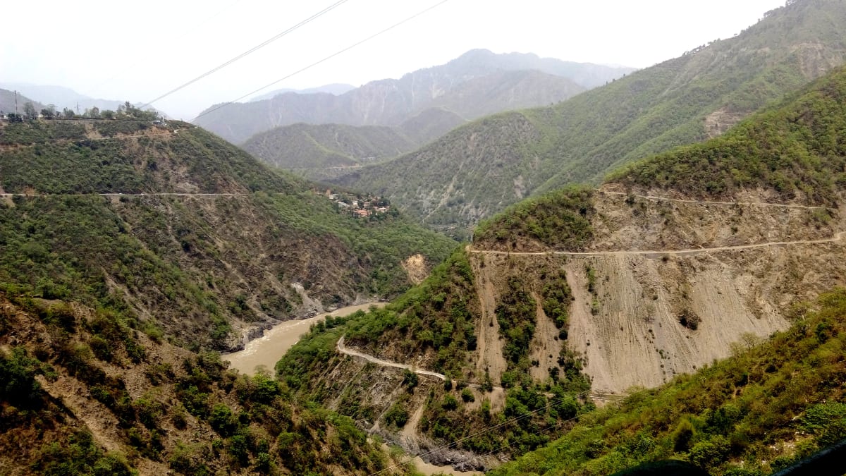
A fresh western disturbance is moving eastward across the Arabian Sea, promising to intensify the ongoing monsoon over North India. Meteorologists predict widespread heavy showers, especially across the Himalayan foothills, the Indo‑Gangetic plain, and the central states. While the added moisture can alleviate lingering drought pockets, the sudden downpours also raise concerns about flash floods, landslides, and urban waterlogging.
What is a Western Disturbance?
- Origin: Typically forms over the Mediterranean and Middle East, then drifts west‑to‑east across the Indian subcontinent.
- Seasonality: Peaks between December and February but can linger into the pre‑monsoon months of March‑May.
- Impact: Brings cool, moist air that can trigger rain in the north, especially over the Himalayas, Punjab, Haryana, Uttar Pradesh, and Bihar.
Current Weather Synopsis
- System Track: The disturbance entered the Arabian Sea on 14 May, deepening to a low‑pressure area of 1008 hPa.
- Moisture Content: Satellite‑derived precipitable water values exceed 1.8 cm, indicating a robust moisture plume.
- Rainfall Forecast: The India Meteorological Department (IMD) projects 30‑70 mm of rain in the western Himalayas and 15‑35 mm across the plains over the next 48 hours, with isolated peaks up to 100 mm in Uttarakhand and Himachal Pradesh.
Regional Outlook
Himalayan Belt (Uttarakhand, Himachal Pradesh, Jammu & Kashmir)
- Potential Hazards: Rapid snowmelt, landslides, and river swelling.
- Precautionary Measures: Local authorities have issued early warnings; road closures on vulnerable mountain passes are expected.
Indo‑Gangetic Plain (Punjab, Haryana, Delhi, UP, Bihar)
- Urban Concerns: Cities like Delhi and Lucknow may experience water‑logged streets, disrupting traffic and public transport.
- Agricultural Benefits: The rain can replenish soil moisture ahead of the main monsoon, benefitting wheat and mustard crops.
Central India (Madhya Pradesh, Chhattisgarh)
- Secondary Effects: Though the core impact is northward, peripheral showers could reach central regions, offering respite from heatwaves.
Expert Insights
"Western disturbances act like a cold front in the north, providing a much‑needed boost to the monsoon's early stages. However, the rapid onset can catch unprepared communities off‑guard," – Dr. Ramesh Kumar, senior climatologist at IMD.
Takeaways for Citizens
- Stay Informed: Follow real‑time alerts on the IMD app and local news channels.
- Prepare: Clear drainage systems, keep sandbags ready, and avoid low‑lying areas during heavy downpours.
- Agriculture: Farmers should monitor field conditions; excess water can damage standing crops, but timely irrigation adjustments can maximize benefits.
Looking Ahead
The western disturbance is expected to dissipate by 18 May, after which the southwest monsoon will dominate, bringing broader, steadier rainfall across the subcontinent. The combined effect could push the monsoon season into an early, vigorous phase, potentially offsetting the delayed onset seen in recent years.
Prepared by the Weather Desk – India Today Top Stories
Original Reporting & Source: India Today Top Stories

Discussion (0)
Sign in to join the discussion.
No comments yet. Be the first to start the conversation!